

Once the road ends, the subcontinent reveals alpine lakes, high passes, flower-filled valleys and tea country, inviting travellers to explore Trails Under Open Skies
There is a point on a mountain journey when the vehicle becomes irrelevant. The road thins, the last settlement falls behind, and distance begins to mean something else. A kilometre is measured in breath, weather, gradient and the weight of the pack. Lunch may happen beside a stream. The evening address could be a tent beneath a pass, a teahouse in a Himalayan village or a bed somewhere among Sri Lanka’s tea slopes.
Across the Indian subcontinent, walking opens landscapes that roads only hint at. Kashmir gives you lakes hidden behind successive ridges. Ladakh strips the mountains back to rock and sky. Uttarakhand turns botanical in summer. Nepal stretches the experience across entire mountain cultures, while Bhutan still makes the high camp part of the romance. Farther south, Sri Lanka replaces glaciers with tea, eucalyptus and tropical mist.
There is pleasure in the changing pace. A walk brings travellers closer to village life, seasonal migrations, mountain agriculture and the old paths that have connected communities for generations. A few hours can carry you from thick forest into open grassland, or from cultivated terraces towards a landscape where little grows beyond alpine shrubs.
Some trails demand weeks of preparation and careful acclimatisation. Others can be explored in sections, leaving time for a village lunch, a monastery visit or an afternoon watching clouds move across the hills. These seven journeys offer distinctly different ways to experience the subcontinent on foot.
The Great Lakes of Kashmir
The Kashmir Great Lakes trail begins near Sonamarg, where green mountain slopes climb above the Sind River and the familiar landscape gradually gives way to high alpine country. The journey typically stretches around 70 kilometres towards Naranag, crossing a succession of passes and lakes over approximately a week.
The first climb carries trekkers through conifer forest and the sweeping meadows around Shekdur towards Nichnai. Streams run through grassland, shepherds move with their flocks, and the last traces of road traffic disappear beneath the sound of water.
Nichnai Pass rises to around 4,100 metres, opening the way towards Vishansar, an alpine lake at approximately 3,710 metres. Its waters reflect the surrounding slopes, while small glaciers remain tucked into gullies above the meadows. Krishansar lies farther ahead, framed by ridges where patches of snow can remain well into summer.
The crossing towards Gadsar is among the route’s more demanding stretches. Climbing to approximately 4,200 metres, trekkers gain expansive views of the lakes before descending into another valley. Gadsar Lake sits below steep slopes, its blue-green waters surrounded by rocky terrain and seasonal flowers.
Farther along, Satsar introduces a chain of smaller lakes scattered through a landscape of rolling hills and stone. The route eventually reaches Gangabal and Nundkol beneath Mount Harmukh, whose commanding presence gives the final lake country a dramatic backdrop.
What makes this trail memorable is the constant change of perspective. A lake that appears impossibly distant in the morning may become the afternoon’s resting place. Clouds move quickly across the passes, changing the colour of the water from turquoise to dark steel. Wildflowers grow beside streams, and shepherd camps add signs of human life to the immense landscape.
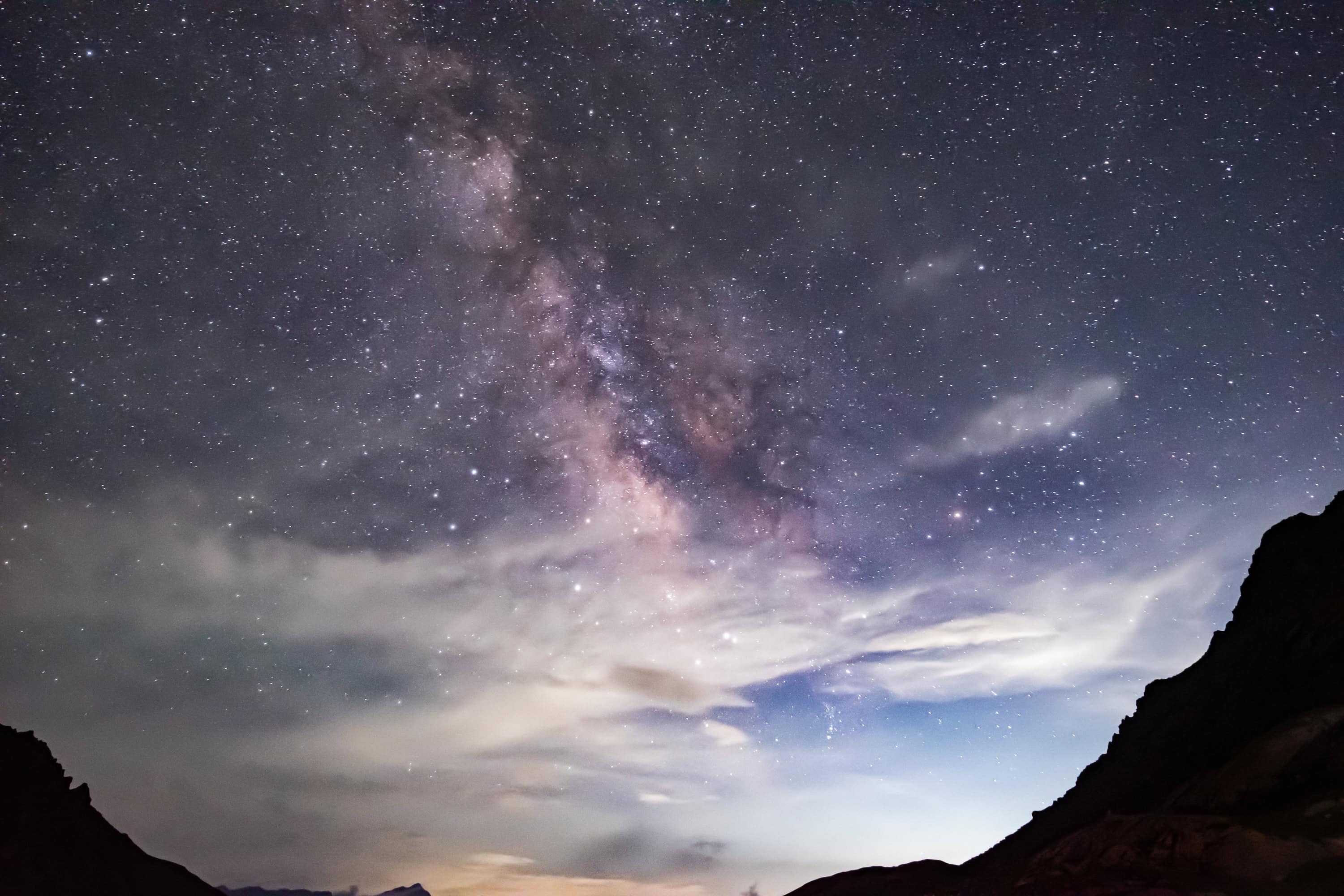
Evenings have their own quiet theatre. Tents appear beside broad meadows, cooking fires or camp stoves bring warmth, and the light lingers on distant ridgelines. The temperature drops quickly once the sun disappears, encouraging everyone towards a hot meal and an early night.
The main trekking season generally runs from July to September, when the high passes are more accessible and the meadows are at their greenest. Weather, permits and route conditions require careful checking, particularly because several sections remain far from motorable roads.
For those prepared for consecutive days at altitude, Kashmir’s great lake country delivers an extraordinary progression of water, meadow, rock and sky.
Markha Valley, Skyu, Hankar and Kongmaru La
Ladakh changes the palette completely. Green becomes scarce, rock assumes every shade of ochre and copper, and the sky seems almost disproportionately large. In this high-altitude desert, the Markha Valley trail follows rivers and ancient settlement routes through one of the most striking landscapes in the Indian Himalaya.
The journey has several starting points, including approaches from Chilling and through the Hemis National Park region. Routes commonly pass through Skyu, Markha and Hankar before climbing towards Nimaling and Kongmaru La.
The first sections move through narrow valleys where the river cuts through immense rock formations. Small patches of cultivation appear almost unexpectedly. Barley fields, willow trees and carefully maintained irrigation channels reveal how mountain communities have learned to live in an environment where water determines almost everything.
Skyu offers an early introduction to village life. Traditional Ladakhi houses, Buddhist shrines and mani walls sit among cultivated fields. The trail continues towards Markha, where whitewashed buildings and terraced plots contrast sharply with the surrounding mountains.
Between settlements, the sense of space can be overwhelming. Rock walls rise above the river, occasional chortens mark the route, and a distant farmhouse may be the only visible building for kilometres. River crossings add variety, particularly during warmer periods when snowmelt increases the flow.
Hankar is one of the last important settlements before the landscape opens towards Nimaling. Above the village, the ruins of an old fortress overlook the valley. Beyond it, the climb becomes more pronounced, leading towards broad summer grazing grounds beneath Kang Yatse.
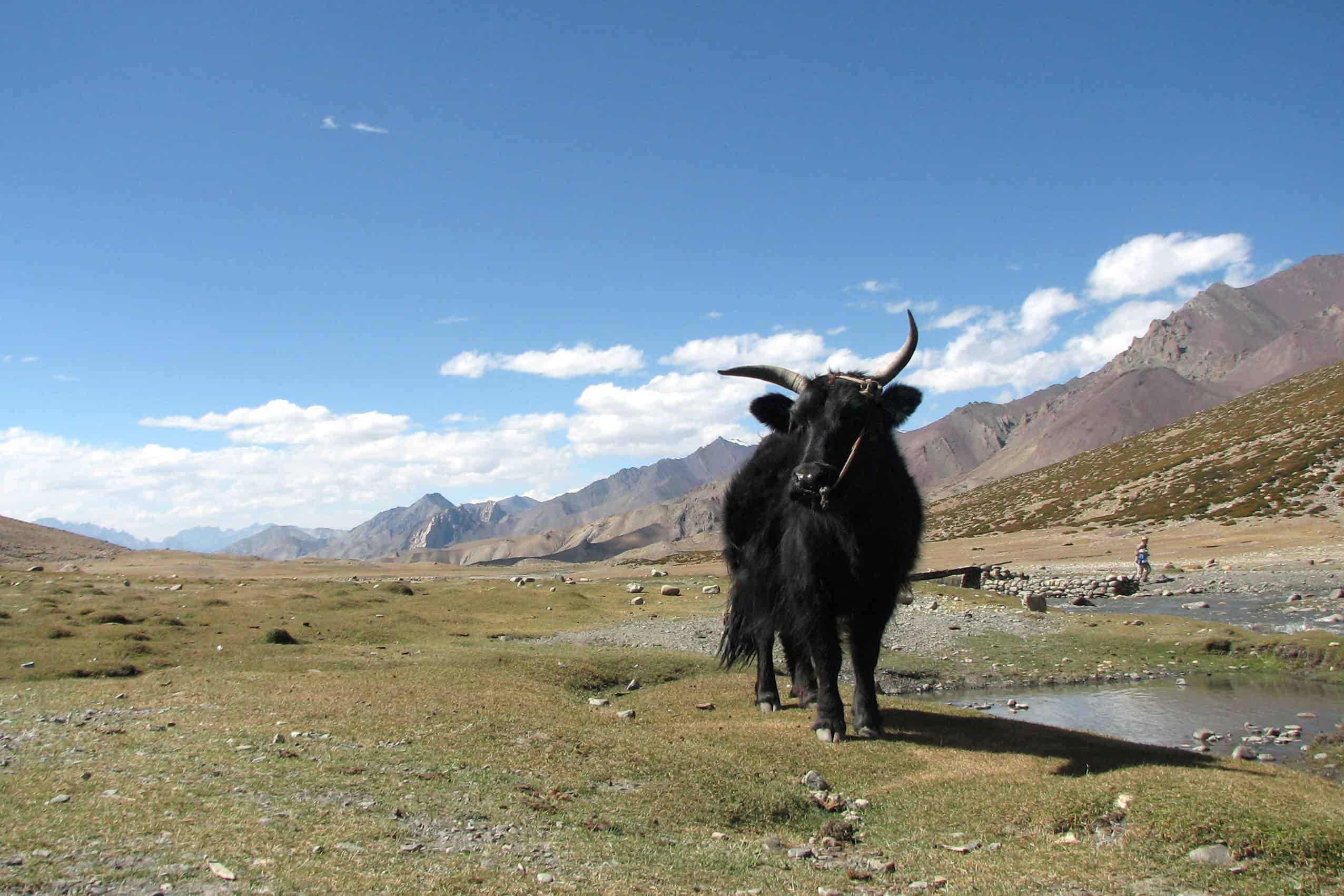
Nimaling, around 4,700 metres, feels like an enormous natural amphitheatre. Yaks and other grazing animals may be seen across the pasture, while snowy summits dominate the horizon. The night sky can be exceptionally clear, although temperatures at this elevation fall sharply.
The climb towards Kongmaru La, generally placed above 5,100 metres, is a major moment of the trek. Prayer flags mark the pass, and the views stretch across ridges, valleys and distant peaks. The descent leads through a narrow gorge, where the mountains close in once again.
Markha Valley also offers a memorable cultural experience. In villages along the route, homestays provide opportunities to enjoy Ladakhi food, meet residents and observe the rhythms of mountain life. Butter tea, thukpa and simple home-cooked meals become welcome rewards after long days outside.
The trail is usually explored during the warmer months, with acclimatisation essential before attempting its highest sections. Its combination of ancient villages, dry mountain scenery and dramatic altitude makes it one of Ladakh’s defining treks.
Valley of Flowers and Beyond
In Uttarakhand’s Garhwal Himalaya, summer transforms the mountain slopes into a vast botanical landscape. Snowmelt feeds streams, mist moves through the valleys, and alpine flowers appear among grasses and rocky outcrops.
The Valley of Flowers lies within a protected national park recognised as a UNESCO World Heritage Site. Its spectacular seasonal blooms have made it one of India’s most celebrated mountain walks, particularly during the monsoon months when the landscape becomes intensely green.
The journey begins around Govindghat, with many walkers continuing via Pulna towards Ghangaria, the small mountain settlement that serves as the base for both the Valley of Flowers and Hemkund Sahib.
The approach follows the Pushpawati river system through forested slopes, waterfalls and stretches of steep mountain path. Pilgrims, trekkers and porters share the route, creating a lively procession during the main season.
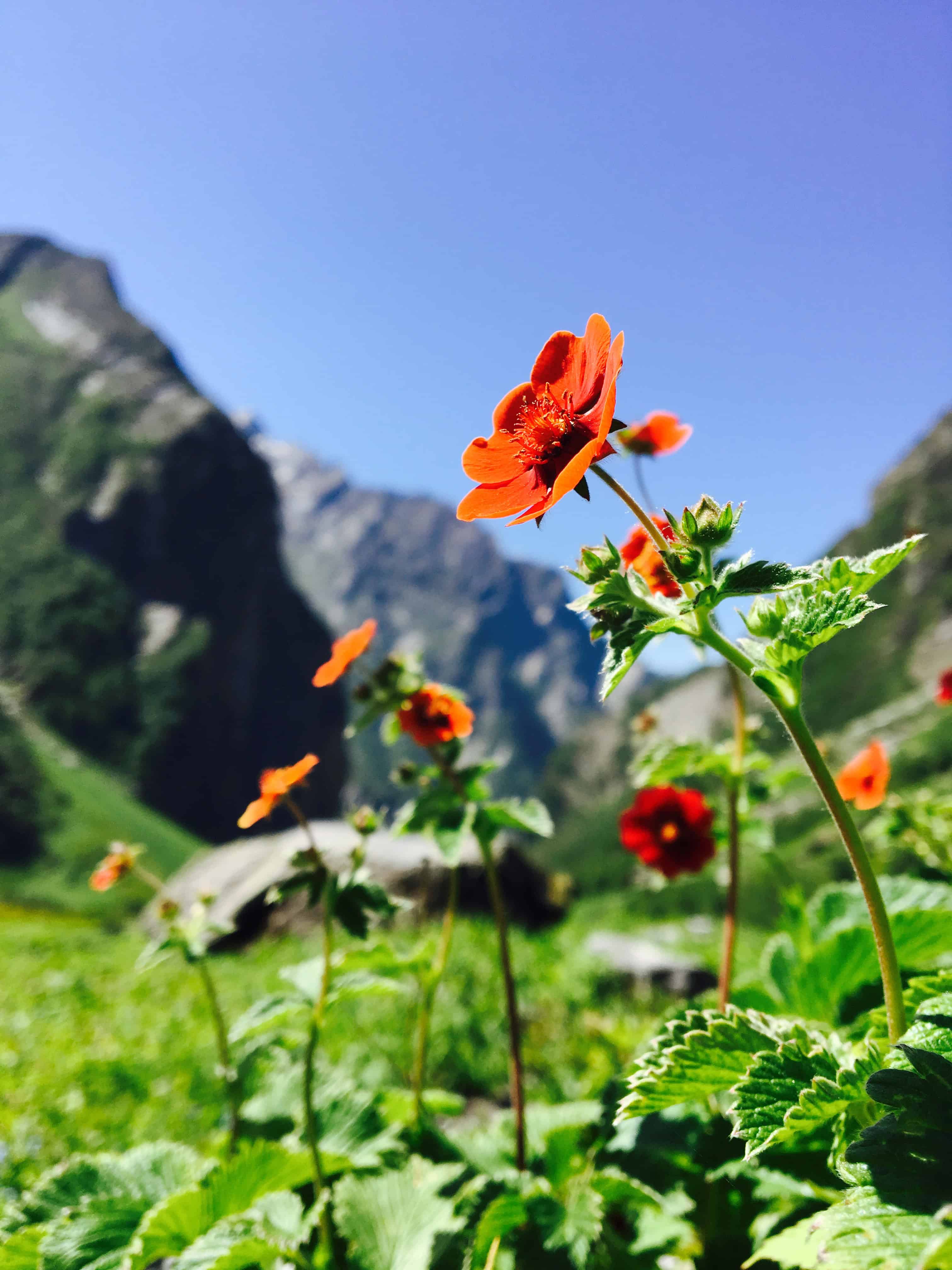
From Ghangaria, the trail enters the protected valley, where the landscape opens beneath imposing mountain walls. Flowers appear in changing combinations through the season, with primulas, anemones, blue poppies and numerous other alpine species contributing colour to the grassland.
The valley’s beauty comes from its natural variation. One stretch may be dominated by tiny flowers close to the ground, while another opens into broad meadows with streams winding across them. Mist occasionally hides the peaks, only to reveal them again as the clouds break.
The surrounding mountains introduce another dimension. Waterfalls descend from high slopes, glaciers remain visible in the distance, and the valley floor carries the sound of moving water throughout the day.
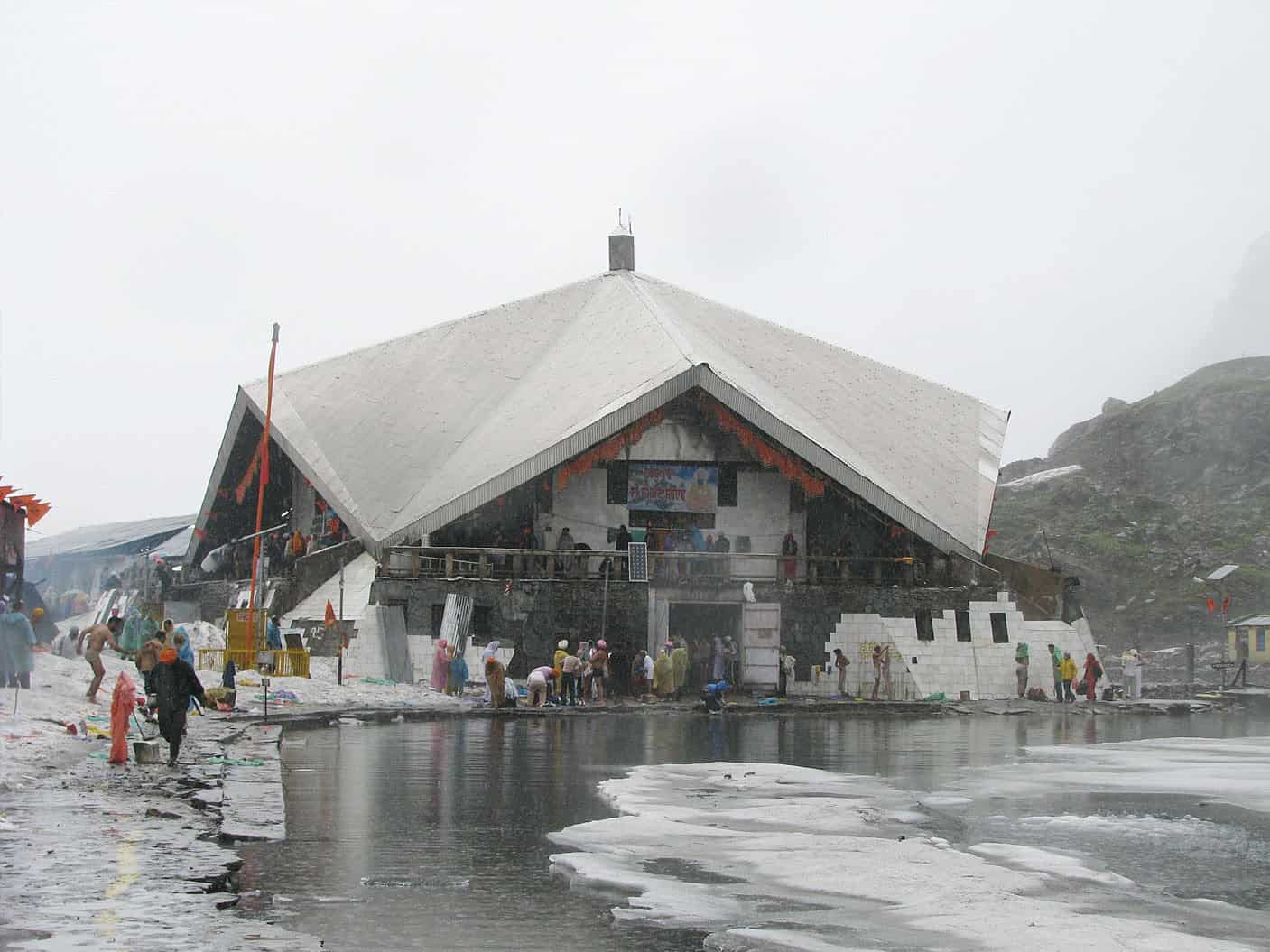
A separate trail from Ghangaria climbs steeply towards Hemkund Sahib, the revered Sikh pilgrimage site beside a glacial lake at approximately 4,300 metres. The ascent is demanding, with the thinning air making every step feel more deliberate.
At the top, the gurudwara stands beside cold mountain water, surrounded by steep ridges. The combination of pilgrimage, altitude and landscape lends the experience an atmosphere quite different from the flower-filled valley below.
The wider Garhwal region offers more challenging expeditions, including routes towards Bhyundar Khal and Gupt Khal. These are serious high-altitude undertakings involving difficult terrain, specialised equipment and experienced expedition support.
For most visitors, the Valley of Flowers and Hemkund Sahib provide more than enough walking. The route generally requires several days, allowing time to reach Ghangaria, visit the valley and complete the separate climb towards the lake.
The flowering season varies with weather conditions, although July to September is particularly associated with abundant blooms. Entry regulations apply, and overnight stays inside the national park are prohibited.
Uttarakhand’s appeal lies in the extraordinary density of its natural landscape. A relatively short walk can introduce forests, waterfalls, high meadows, sacred sites and mountain scenery of remarkable scale.
Annapurna, Ghandruk, Manang and Thorong La
Nepal’s Annapurna region offers an entirely different dimension of mountain travel. Here, trekking routes move through inhabited valleys and established mountain communities before reaching some of the highest walking passes in the Himalaya.
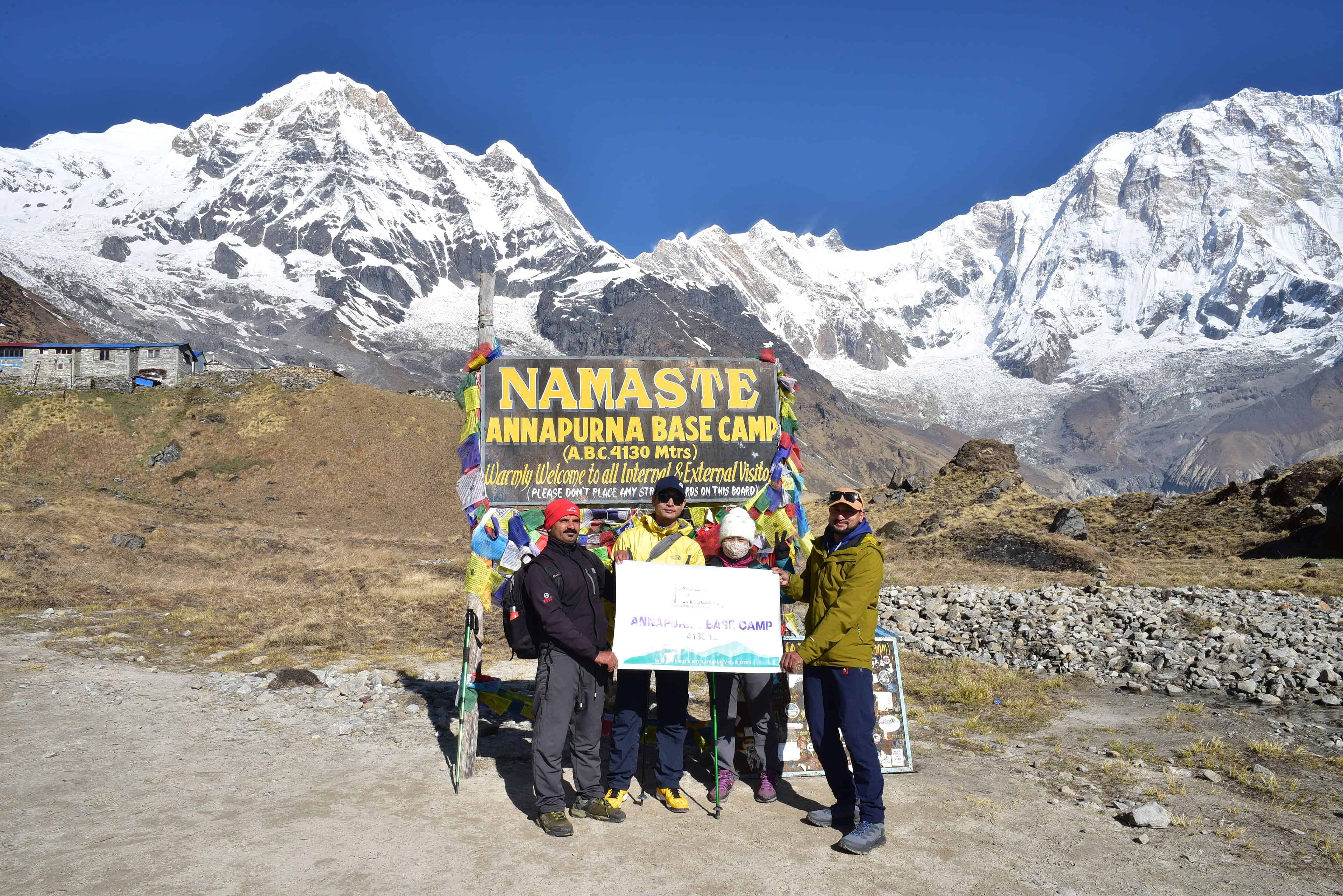
The region extends around the Annapurna massif, with Pokhara serving as a major gateway. Shorter walks lead towards Ghandruk and Ghorepani, while the longer Annapurna Circuit continues through Manang, crosses Thorong La and descends towards Muktinath and the Kali Gandaki corridor.
Ghandruk introduces a gentler side of Himalayan walking. Stone houses, terraced fields and narrow village lanes sit beneath immense peaks. The settlement is associated with Gurung culture, and the surrounding trails offer beautiful views towards Annapurna South, Hiunchuli and Machhapuchhre.
Further along the wider trekking network, rhododendron forests give way to deeper valleys and exposed mountain terrain. The landscape changes noticeably with altitude, and each walking day introduces new vegetation, architecture and agricultural practices.
On the Annapurna Circuit, Manang marks an important stage in the ascent. The surrounding valley has a dry, almost Tibetan character, with traditional houses, monasteries and cultivated fields set against dramatic rock faces.
Trekkers typically spend time acclimatising here before continuing towards higher elevations. The gradual adjustment is important because Thorong La, at 5,416 metres, is among the highest commonly crossed trekking passes in the world.
The crossing begins early, often before sunrise, when the mountain air is exceptionally cold. The ascent demands patience, and progress becomes a matter of steady footsteps and controlled breathing. At the pass, prayer flags move in the wind above a landscape of snow, rock and distant Himalayan ranges.
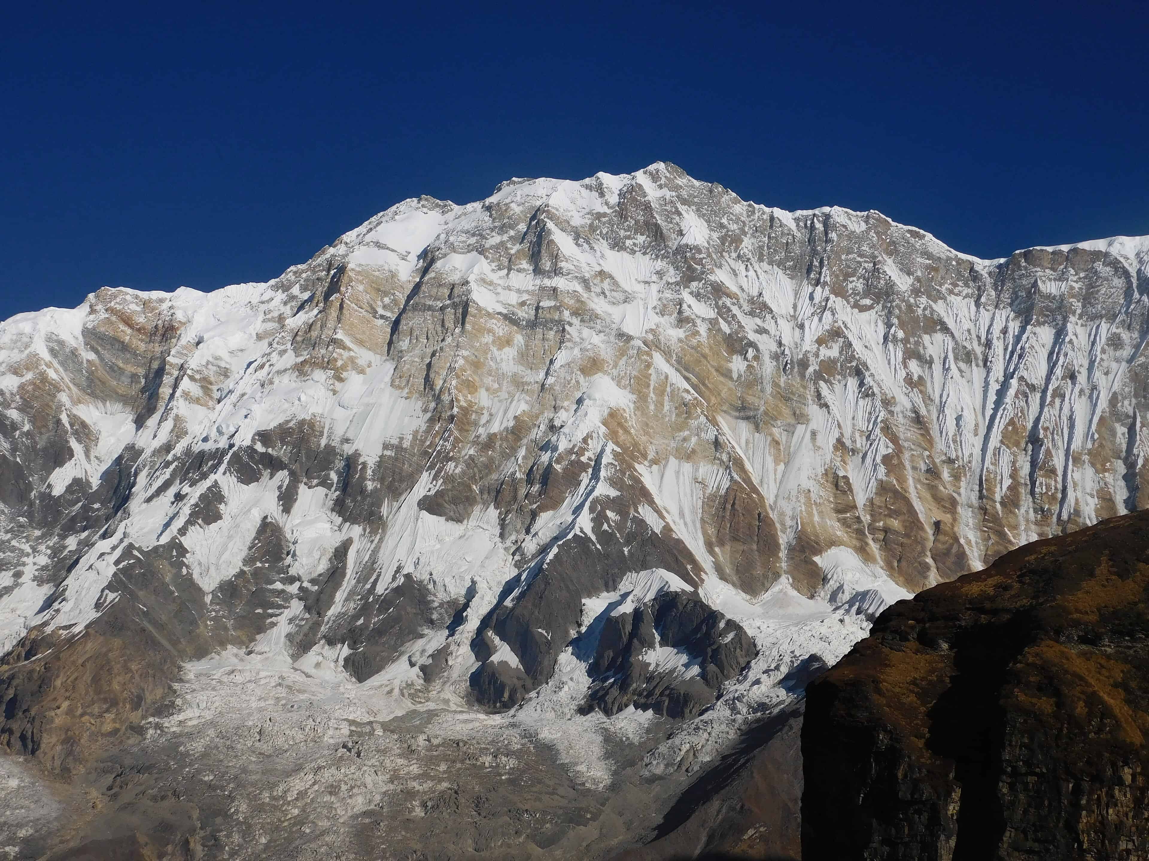
The descent towards Muktinath changes the scenery once again. The terrain becomes drier, and the route enters a region shaped by Buddhist and Hindu traditions, ancient trade connections and the distinctive culture of the Kali Gandaki Valley.
The trail’s human character is equally memorable. Gurung, Magar, Thakali and other communities have long shaped the Annapurna region, and their villages offer insight into local architecture, agriculture, food and hospitality.
Teahouses remain central to the experience. At the end of a long walking day, trekkers gather around dining tables, exchange stories and enjoy steaming bowls of dal bhat or noodle soup.
Road development has changed parts of the traditional circuit, making route selection more important for travellers seeking continuous walking. Alternative footpaths allow trekkers to avoid some road sections.
The Annapurna experience can be adapted considerably, from a few days around Ghandruk to an extended high-altitude journey across Thorong La. Its extraordinary range of landscapes and living mountain cultures makes it one of Nepal’s richest trekking regions.
Langtang, Syabrubesi, Briddim and Kyanjin
North of Kathmandu, close to the Tibetan border, Langtang brings trekkers into a landscape of deep river valleys, traditional settlements and impressive Himalayan peaks. The region lies relatively close to Nepal’s capital, although the mountain roads and walking trails make the journey feel considerably farther removed.
Many treks begin at Syabrubesi, a settlement beside the Bhote Koshi river. From here, travellers can follow the main Langtang Valley route or explore the Tamang Heritage Trail, which passes through communities with strong cultural links to the Himalayan borderlands.
The heritage route takes in villages such as Gatlang, Thuman and Briddim, with variations passing through Chilime and Timure. Stone houses, terraced fields, prayer flags and village monasteries create a landscape where walking and cultural discovery are closely connected.
Briddim is especially associated with homestay experiences. Visitors may stay in traditional village homes, share meals and observe daily routines shaped by agriculture, livestock and mountain seasons.
The main Langtang Valley trail follows the river through forests of oak, pine and rhododendron. Waterfalls descend from the surrounding slopes, while suspension bridges carry walkers over rushing streams.
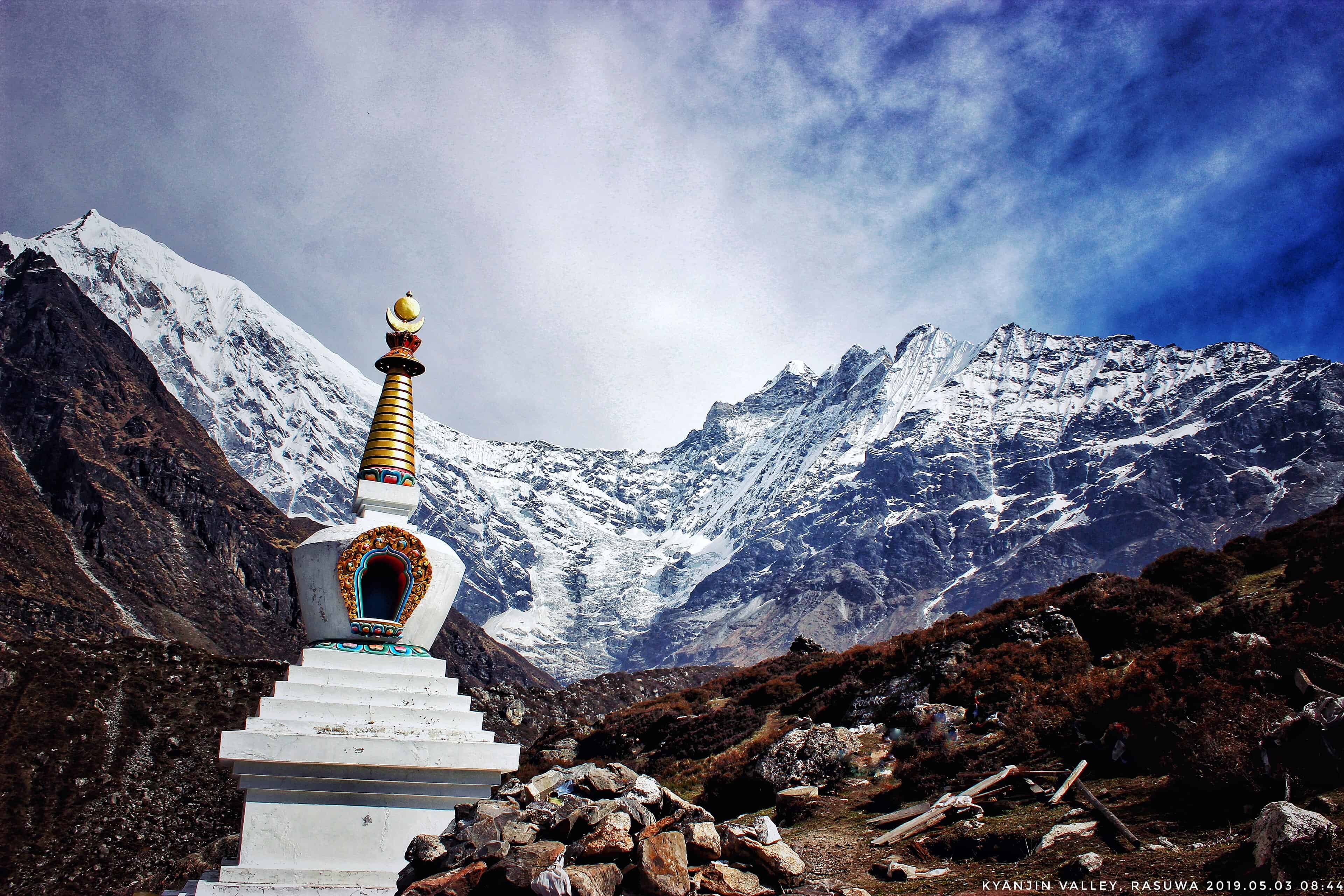
As the route climbs, the forest begins to thin. Traditional settlements appear between broad mountain slopes, and the valley gradually opens towards the upper Himalayan landscape.
Langtang Village stands along this route, having been rebuilt after the devastating 2015 earthquake. Its renewed homes and lodges speak to the resilience of the community and the importance of trekking to local livelihoods.
Farther ahead, Kyanjin Gompa lies beneath the immense mountain walls of the upper valley. Langtang Lirung dominates the skyline, while glaciers, yak pastures and rocky slopes create an imposing setting.
Trekkers often spend additional time around Kyanjin, exploring nearby viewpoints or walking farther into the valley. The ascent towards Kyanjin Ri offers expansive mountain views, although the altitude and steep gradient require care.
The appeal of Langtang lies in the closeness of village life to dramatic Himalayan scenery. A morning may begin with tea in a family-run lodge before the path leads past prayer wheels, grazing animals and icy streams.
The valley also reveals an intimate relationship between culture and landscape. Traditional livelihoods, local food, Tibetan Buddhist influences and seasonal agriculture remain visible throughout the journey.
Spring and autumn are generally favoured for trekking, with clearer conditions often found during October and November. The route requires appropriate permits and careful planning, particularly when combining the main valley trek with more remote heritage sections.
Langtang leaves a strong impression through its lived-in mountain character. The trails carry travellers through communities that continue to shape the landscape, giving the journey warmth and depth alongside its spectacular views.
Bhutan, Druk Path, Jangchulakha and Jomolhari
Bhutan keeps the mountain camp at the heart of the trekking experience. Here, trails move through rhododendron forest, high ridges and open yak pasture, with nights spent beneath cold Himalayan skies.
The Druk Path, connecting the Paro and Thimphu valleys, is among Bhutan’s best-known shorter treks. The route rises through forest towards Jele Dzong before continuing across exposed ridgelines, alpine lakes and high camping grounds.
Jangchulakha is one of its memorable stops, with open pasture and views towards distant snowy peaks when the weather clears. The landscape is especially beautiful during spring, when rhododendrons bring colour to the forests.
Further along, Jimilang Tsho appears beneath rolling mountain slopes. The lake is surrounded by a quiet, open landscape, and its waters reflect the changing light through the day.
The trail continues through a succession of elevated ridges and lakes before descending towards the Thimphu side. Although the Druk Path is relatively short, sections rise to around 4,200 metres, and the combination of altitude and exposed terrain demands reasonable fitness.
Jomolhari country introduces a grander scale. Rising above 7,300 metres, the mountain is one of Bhutan’s most recognisable Himalayan landmarks.
Trekking routes towards Jomolhari move through forested valleys, remote settlements and broad grazing grounds. The approach follows mountain rivers before reaching higher elevations where yak herders spend part of the year.
Jangothang, often known as Jomolhari Base Camp, offers one of the journey’s defining views. The great mountain rises above the valley, while tents and grazing animals occupy the foreground.
Some routes continue across passes approaching 5,000 metres, moving through increasingly remote terrain. These longer journeys require careful acclimatisation and organised logistical support.
The daily routine creates much of Bhutan’s trekking charm. Pack animals carry supplies, tents are pitched at designated campsites, and cooking teams prepare meals against a backdrop of mountains and forest.
Early mornings bring frost, still air and the possibility of extraordinary visibility. By afternoon, clouds may gather around the peaks, changing the landscape completely.
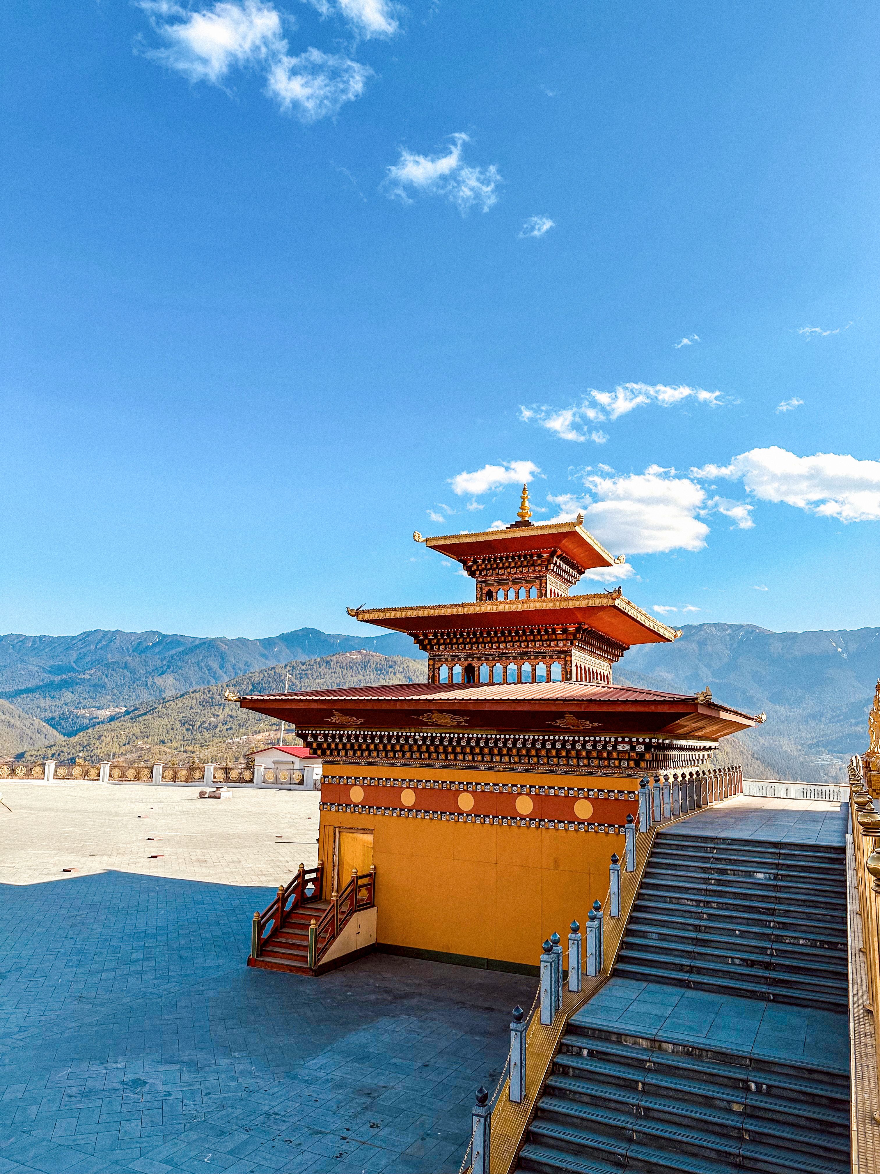
Bhutan’s mountain routes also reveal the country’s close relationship with its natural and spiritual environment. Prayer flags, monasteries and sacred mountains provide a constant cultural presence, even in sparsely inhabited regions.
The main trekking seasons generally fall in spring and autumn, with individual routes depending on weather and altitude. For travellers drawn to camping and high Himalayan landscapes, Bhutan offers an exceptional combination of wilderness, cultural heritage and mountain grandeur.
The Pekoe Trail, Haputale, Ella and Nuwara Eliya
Sri Lanka changes the idea of a long-distance mountain trail. The Pekoe Trail crosses approximately 300 kilometres of the Central Highlands in 22 stages, linking tea estates, forests, railway towns, villages and old plantation tracks.
Beginning in the Hanthana hills near Kandy, the route moves through Deltota, Tawalantenna, the Bogawantalawa Valley, Haputale, Ella and other hill-country landscapes before finishing in Nuwara Eliya.
The scenery is greener and more inhabited than the high Himalayan trails. Tea bushes run in precise lines across hillsides, estate roads curve around valleys, and trains appear unexpectedly through mist.
The walking experience is shaped by the region’s plantation history. Some sections follow old estate tracks, while others pass through forests, farmland and settlements where tea cultivation remains central to daily life.
Around Haputale, the landscape opens towards dramatic escarpments and deep valleys. The hills are covered in tea, interrupted by eucalyptus trees, narrow footpaths and small clusters of houses.
The route passes through areas around Horton Plains, Udaweriya, St Catherine’s and Makulella before continuing towards Ella. Mist frequently moves across the high country, revealing and concealing distant ridgelines within minutes.
Ella has become one of Sri Lanka’s most familiar hill destinations, known for its mountain views, railway scenery and walking opportunities. The surrounding landscape combines steep green slopes, tea estates and valleys through which the railway winds.
At Demodara, the railway makes an extraordinary loop around the hill, passing through a tunnel beneath the station. Nearby, the celebrated Nine Arch Bridge brings another remarkable example of railway engineering into the landscape.
Beyond Ella, the Pekoe Trail continues towards Demodara and Hali Ela before passing through the eastern and central highlands towards Uda Pussellawa, Kandapola and Nuwara Eliya.
These sections reveal the diversity of Sri Lanka’s working hill country. Vegetable farms, tea factories, plantation settlements and pockets of cloud forest provide constantly changing surroundings.
There is considerable pleasure in walking through a landscape where ordinary life continues alongside the trail. Tea pluckers move across the slopes, village shops provide refreshments, and paths connect communities that have lived among these hills for generations.
Nuwara Eliya introduces another expression of the highlands, with its cooler climate, gardens, historic buildings and surrounding tea estates.
One of the Pekoe Trail’s advantages is its flexibility. Travellers can complete individual stages or combine several into a longer journey, using local accommodation and transport connections rather than committing to a continuous expedition.
The weather remains an important consideration, with rain and mist possible across the highlands. Trail conditions vary, and some stages require careful navigation through plantations and forested areas.
The absence of glaciers and extreme Himalayan elevations gives the experience a gentler character, although steep climbs and long walking days can still demand considerable effort.
For travellers who enjoy combining landscapes with local history and everyday culture, the Pekoe Trail offers a compelling way to discover Sri Lanka’s central hills at walking pace.
The Camp After the Walk
Every trail ends the day differently. Kashmir offers tents beside alpine meadows. Ladakh alternates between camps and village stays. Ghangaria becomes the base for the Valley of Flowers. Annapurna and Langtang revolve around teahouses and homestays. Bhutan keeps the mountain camp alive, while the Pekoe Trail folds each walking day back into Sri Lanka’s hill towns and estates.
There is a pleasure in these temporary routines. Wet boots are placed outside a doorway. A flask is filled for the following morning. Maps are unfolded across a table, and the day’s distance is discussed with the satisfaction that comes from having travelled it on foot.
The mountains also demand respect. Weather can change rapidly, and altitude introduces challenges that require preparation, appropriate pacing and local knowledge. Seasonal access, permits and trail conditions deserve as much attention as the scenery.
Yet the greatest reward often arrives in an unplanned moment. It might be the first sight of a lake beyond a ridge, a village appearing beneath a snowy mountain, or sunlight breaking across a tea estate after hours of mist.
These are the experiences that remain long after the walk is over. The distance eventually becomes a number, the photographs find their place, and the pack is emptied. What stays is the memory of having crossed a landscape slowly enough to appreciate everything along the way.
Read More: Latest